2016
SE8256 : The Bence
taken 8 years ago, 3 km from Great Givendale, East Riding of Yorkshire, England
This is 1 of 2 images, with title The Bence in this square
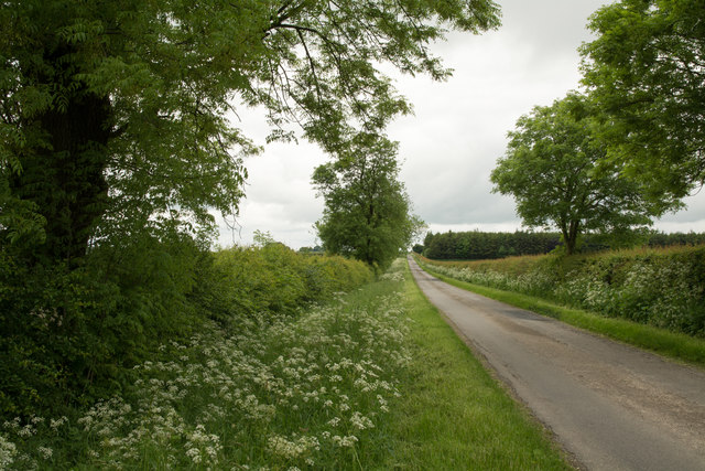
The Bence
The Bence is the name given to this route, that of an old Roman road; the view is north-west from near to the farm at High Callis Wold.
 Map © Crown Copyright")
TIP: Click the map for more Large scale mapping
- Grid Square
- SE8256, 29 images (more nearby 🔍)
- Photographer
- Trevor Littlewood (more nearby)
- Date Taken
- Tuesday, 14 June, 2016 (more nearby)
- Submitted
- Wednesday, 15 June, 2016
- Subject Location
-
OSGB36:
 SE 8273 5610 [10m precision]
WGS84: 53:59.6595N 0:44.3741W - Camera Location
-
OSGB36: SE 8277 5602
- View Direction
- North-northwest (about 337 degrees)