2016
TL4913 : Difficult Path by Newhouse
taken 8 years ago, near to Lower Sheering, Essex, England
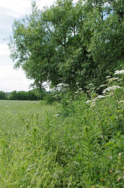
Difficult Path by Newhouse
The border strip beside the stream was a mixture of hemlock, stinging nettles and thistles. The edge of the crop was entangled in a couple of metres of Goose grass choking out the oilseed rape. I have crossed more difficult paths in my time but I can't remember when. The Goose grass kept entangling my legs like some malevolent creature in a science fiction movie! I cursed the local councillors who allowed the footpath to be diverted around the farmyard.
 Map © Crown Copyright")
TIP: Click the map for more Large scale mapping
- Grid Square
- TL4913, 16 images (more nearby 🔍)
- Photographer
- Glyn Baker (more nearby)
- Date Taken
- Thursday, 16 June, 2016 (more nearby)
- Submitted
- Friday, 17 June, 2016
- Subject Location
-
OSGB36:
 TL 4913 1379 [10m precision]
WGS84: 51:48.1722N 0:9.6883E - Camera Location
-
OSGB36: TL 4916 1378
- View Direction
- WEST (about 270 degrees)