2016
NT1758 : Through the Dyke
taken 8 years ago, near to Nine Mile Burn, Midlothian, Scotland
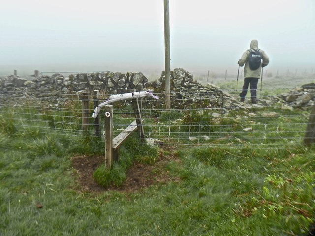
Through the Dyke
Path to Nine Mile Burn
 Map © Crown Copyright")
TIP: Click the map for more Large scale mapping
- Grid Square
- NT1758, 35 images (more nearby 🔍)
- Photographer
- Anthony O'Neil (more nearby)
- Date Taken
- Friday, 10 June, 2016 (more nearby)
- Submitted
- Friday, 17 June, 2016
- Subject Location
-
OSGB36:
 NT 1794 5888 [10m precision]
WGS84: 55:48.9708N 3:18.6664W - Camera Location
-
OSGB36: NT 1795 5889
- View Direction
- Southwest (about 225 degrees)