2016
SU2978 : Earthwork, Thornslait Ridge
taken 8 years ago, near to Baydon, Wiltshire, England
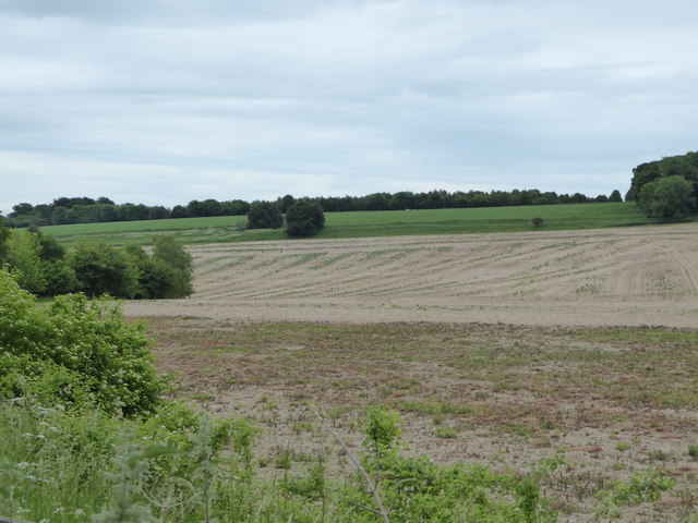
Earthwork, Thornslait Ridge
A linear earthwork seen at the edge of the green field on the ridge.
 Map © Crown Copyright")
TIP: Click the map for more Large scale mapping
- Grid Square
- SU2978, 9 images (more nearby 🔍)
- Photographer
- Vieve Forward (more nearby)
- Date Taken
- Saturday, 11 June, 2016 (more nearby)
- Submitted
- Friday, 17 June, 2016
- Subject Location
-
OSGB36:
 SU 2918 7818 [10m precision]
WGS84: 51:30.1085N 1:34.8602W - Camera Location
-
OSGB36: SU 2881 7853
- View Direction
- Southeast (about 135 degrees)