2016
TF7411 : Chalk Lane in Starknaked Plantation
taken 8 years ago, near to Narborough, Norfolk, England
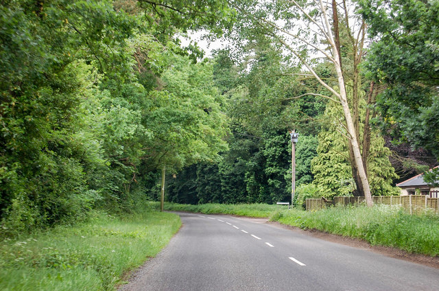
Chalk Lane in Starknaked Plantation
South of Narborough, Lower Farm Road off to the right.
 Map © Crown Copyright")
TIP: Click the map for more Large scale mapping
- Grid Square
- TF7411, 14 images (more nearby 🔍)
- Photographer
- J.Hannan-Briggs (more nearby)
- Contributed by
- Julian P Guffogg (more nearby)
- Date Taken
- Monday, 13 June, 2016 (more nearby)
- Submitted
- Monday, 20 June, 2016
- Subject Location
-
OSGB36:
 TF 748 115 [100m precision]
WGS84: 52:40.3853N 0:35.0695E - Camera Location
-
OSGB36: TF 748 116
- View Direction
- South-southwest (about 202 degrees)