2016
SE2359 : View over Birstwith and Nidderdale
taken 8 years ago, near to Birstwith, North Yorkshire, England
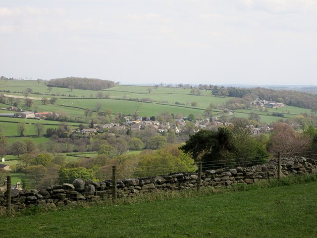
View over Birstwith and Nidderdale
From the Nidderdale Way near Bell House
 Map © Crown Copyright")
TIP: Click the map for more Large scale mapping
- Grid Square
- SE2359, 57 images (more nearby 🔍)
- Photographer
- Martin Dawes (more nearby)
- Date Taken
- Thursday, 5 May, 2016 (more nearby)
- Submitted
- Tuesday, 21 June, 2016
- Subject Location
-
OSGB36:
 SE 2353 5964 [10m precision]
WGS84: 54:1.9329N 1:38.5355W - Camera Location
-
OSGB36: SE 2307 5984
- View Direction
- East-southeast (about 112 degrees)