2016
TA0192 : Roadside wall in High Street, Burniston
taken 8 years ago, near to Burniston, North Yorkshire, England
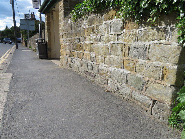
Roadside wall in High Street, Burniston
This roadside wall in High Street, Burniston has an Ordnance Survey bench mark at the bottom of the wall - TA0192 : Bench mark on High Street, Burniston
 Map © Crown Copyright")
TIP: Click the map for more Large scale mapping
- Grid Square
- TA0192, 74 images (more nearby 🔍)
- Photographer
- John S Turner (more nearby)
- Date Taken
- Monday, 20 June, 2016 (more nearby)
- Submitted
- Thursday, 23 June, 2016
- Subject Location
-
OSGB36:
 TA 0125 9295 [10m precision]
WGS84: 54:19.3258N 0:26.6888W - Camera Location
-
OSGB36: TA 0126 9294
- View Direction
- Northwest (about 315 degrees)