2016
SZ0796 : Kinson: footpath E46 from Hyde Road
taken 8 years ago, near to Kinson, Bournemouth, Christchurch & Poole, England
Kinson: footpath E46 from Hyde Road
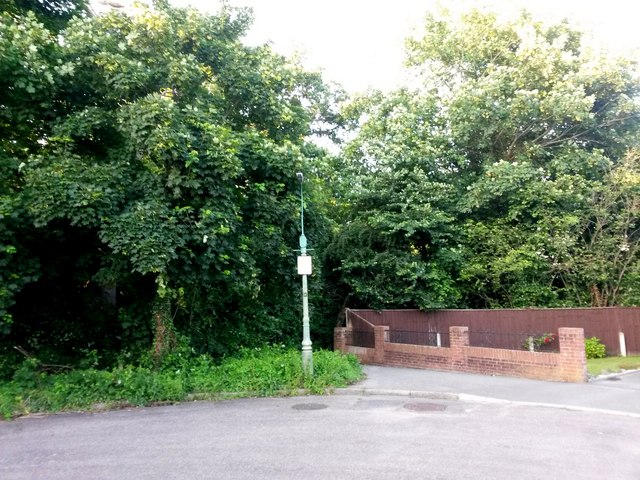
Looking across the 90° corner in Hyde Road, across to the corner of Duke's Coppice. The public footpath heads through the coppice from behind the lamppost, sharp right immediately behind the wall.
See SZ0796 : Kinson: footpath E46 comes out on Hyde Road for the view out onto Hyde Road from the start of the path.
See SZ0796 : Kinson: footpath E46 comes out on Hyde Road for the view out onto Hyde Road from the start of the path.
Public rights of way in Bournemouth
A series of pictures documenting the public rights of way in the borough of Bournemouth. The pictures of the rights of way all have links to the next picture on the same route, in each direction.
The rights of way are all documented, in numerical order, in this article:
Link
 Map © Crown Copyright")
TIP: Click the map for more Large scale mapping
- Grid Square
- SZ0796, 271 images (more nearby 🔍)
- Photographer
- Chris Downer (more nearby)
- Date Taken
- Friday, 24 June, 2016 (more nearby)
- Submitted
- Friday, 24 June, 2016
- Subject Location
-
OSGB36:
 SZ 0721 9625 [10m precision]
WGS84: 50:45.9477N 1:53.9479W - Camera Location
-
OSGB36: SZ 0719 9623
- View Direction
- Northeast (about 45 degrees)