2016
TQ1714 : Shoulder of Mutton Field
taken 8 years ago, near to Ashurst, West Sussex, England
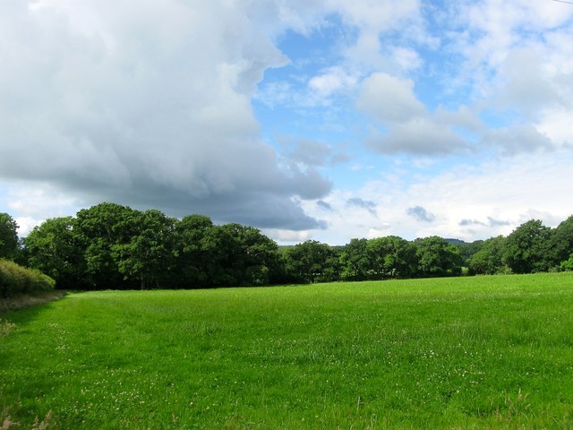
Shoulder of Mutton Field
The name of the field according to Steyning's 1840 tithe map that is located to the north of TQ1714 : Leg of Mutton Field and is named after its shape. Beyond the hedge to the left is Horsham Road, the B2135.
 Map © Crown Copyright")
TIP: Click the map for more Large scale mapping
- Grid Square
- TQ1714, 49 images (more nearby 🔍)
- Photographer
- Simon Carey (more nearby)
- Date Taken
- Saturday, 25 June, 2016 (more nearby)
- Submitted
- Sunday, 26 June, 2016
- Subject Location
-
OSGB36:
 TQ 1777 1424 [10m precision]
WGS84: 50:54.9370N 0:19.5628W - Camera Location
-
OSGB36: TQ 1788 1433
- View Direction
- Southwest (about 225 degrees)