2016
SX4190 : Path beside Goodacre inlet of Roadford Lake
taken 8 years ago, near to Broadwoodwidger, Devon, England
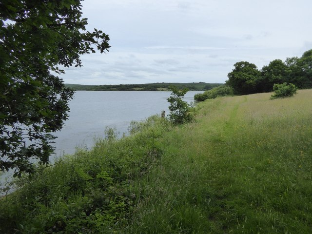
Path beside Goodacre inlet of Roadford Lake
This inlet from the reservoir leads to Lower Goodacre and Higher Goodacre
 Map © Crown Copyright")
TIP: Click the map for more Large scale mapping
- Grid Square
- SX4190, 32 images (more nearby 🔍)
- Photographer
- David Smith (more nearby)
- Date Taken
- Thursday, 23 June, 2016 (more nearby)
- Submitted
- Monday, 27 June, 2016
- Subject Location
-
OSGB36:
 SX 4186 9031 [10m precision]
WGS84: 50:41.4533N 4:14.4150W - Camera Location
-
OSGB36: SX 4183 9031
- View Direction
- East-northeast (about 67 degrees)