2016
SZ0695 : West Howe: footpath U31 to Moore Avenue
taken 8 years ago, near to Kinson, Bournemouth, Christchurch & Poole, England
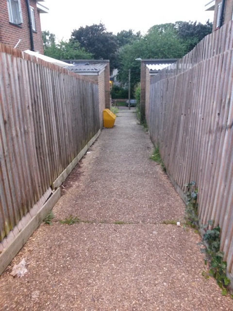
West Howe: footpath U31 to Moore Avenue
Looking down this short public footpath from its top end.
See SZ0695 : West Howe: footpath U31 to Cunningham Close (almost) for an upward view and more discussion; and SZ0695 : West Howe: footpath U31 is to the right for a view along the path just behind us, onto which this one leads.
See SZ0695 : West Howe: footpath U31 to Cunningham Close (almost) for an upward view and more discussion; and SZ0695 : West Howe: footpath U31 is to the right for a view along the path just behind us, onto which this one leads.
Public rights of way in Bournemouth
A series of pictures documenting the public rights of way in the borough of Bournemouth. The pictures of the rights of way all have links to the next picture on the same route, in each direction.
The rights of way are all documented, in numerical order, in this article:
Link
 Map © Crown Copyright")
TIP: Click the map for more Large scale mapping
- Grid Square
- SZ0695, 155 images (more nearby 🔍)
- Photographer
- Chris Downer (more nearby)
- Date Taken
- Monday, 27 June, 2016 (more nearby)
- Submitted
- Monday, 27 June, 2016
- Subject Location
-
OSGB36:
 SZ 0637 9553 [10m precision]
WGS84: 50:45.5598N 1:54.6633W - Camera Location
-
OSGB36: SZ 0638 9552
- View Direction
- West-northwest (about 292 degrees)