2013
SN9508 : Sticil uwchben yr A4059 / Stile above the A4059
taken 11 years ago, near to Penderyn, Rhondda Cynon Taf, Wales
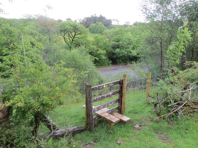
Sticil uwchben yr A4059 / Stile above the A4059
Llwybr cyhoeddus uwchben yr A4059.
A public footpath above the A4059.
A public footpath above the A4059.
 Map © Crown Copyright")
TIP: Click the map for more Large scale mapping
- Grid Square
- SN9508, 33 images (more nearby 🔍)
- Photographer
- Alan Richards (more nearby)
- Date Taken
- Saturday, 15 June, 2013 (more nearby)
- Submitted
- Monday, 27 June, 2016
- Subject Location
-
OSGB36:
 SN 9506 0846 [10m precision]
WGS84: 51:45.8972N 3:31.3235W - Camera Location
-
OSGB36: SN 9505 0845
- View Direction
- Northeast (about 45 degrees)