2016

SN6580 : Capel Bangor

taken 8 years ago, near to Capel Bangor, Ceredigion/Sir Ceredigion, Wales

This is 1 of 2 images, with title Capel Bangor in this square
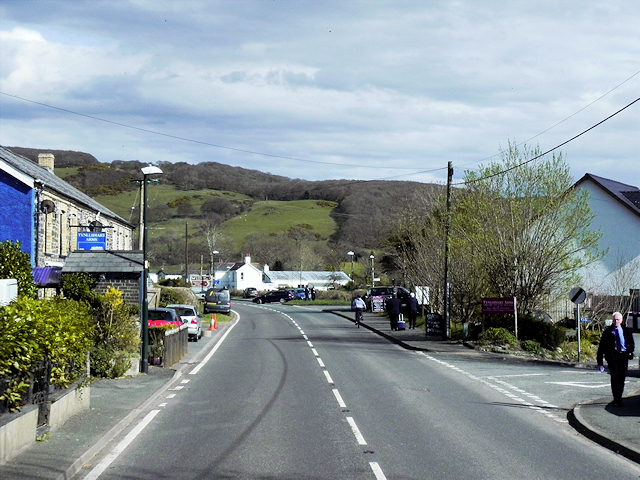
Capel Bangor
Capel Bangor
Capel Bangor is a small village approximately 5 miles to the east of Aberystwyth.
The A44

The A44 is a major road in the United Kingdom that runs for 155 miles from Oxford in southern England to Aberystwyth in west Wales.
LinkExternal link SABRE
LinkExternal link Wikipedia


Creative Commons Licence [Some Rights Reserved]   © Copyright David Dixon and licensed for reuse under this Creative Commons Licence.
Geographical Context: Village, Rural settlement Camera: Nikon P100 Road: A44 other tags: Primary Road Click a tag, to view other nearby images.
This photo is linked from: Automatic Clusters: · Capel Bangor Village [9] Title Clusters: · Capel Bangor [2] ·
1:50,000 Modern Day Landranger(TM) Map © Crown Copyright
+
+
1:50,000 Modern Day Landranger(TM) Map © Crown Copyright
TIP: Click the map for more Large scale mapping
Grid Square
SN6580, 104 images   (more nearby 🔍)
Photographer
David Dixon   (more nearby)
Date Taken
Wednesday, 13 April, 2016   (more nearby)
Submitted
Monday, 27 June, 2016
Subject Location
OSGB36: geotagged! SN 655 802 [100m precision]
WGS84: 52:24.2110N 3:58.6565W
Camera Location
OSGB36: geotagged! SN 655 802
View Direction
East-southeast (about 112 degrees)
Clickable map
+
NW N NE
W Go E
SW S SE
Image Type (about): geograph 
This page has been viewed about 31 times
You are not logged in login | register