2005
NH7127 : Farr to Garbole road
taken 19 years ago, near to Caochan Breac [water Feature], Highland, Great Britain
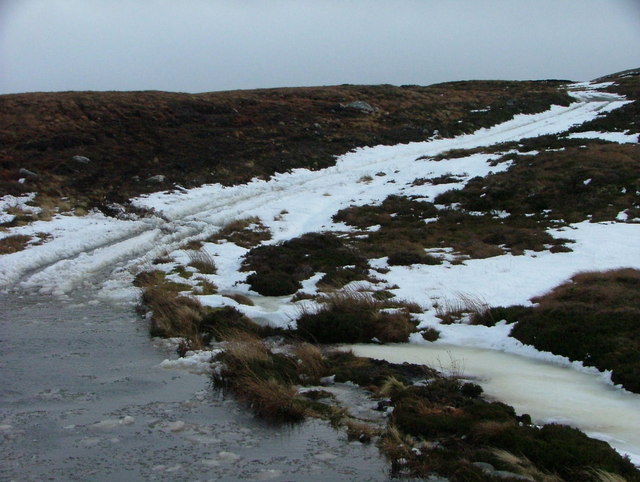
Farr to Garbole road
A stream flooding the Farr-Garbole road in wintery conditions. Not quite passable by a 2wd car!!
 Map © Crown Copyright")
TIP: Click the map for more Large scale mapping
- Grid Square
- NH7127, 13 images (more nearby 🔍)
- Photographer
- Steven Brown (more nearby)
- Date Taken
- Monday, 3 January, 2005 (more nearby)
- Submitted
- Sunday, 22 July, 2007
- Subject Location
-
OSGB36:
 NH 715 271 [100m precision]
WGS84: 57:18.9797N 4:8.0336W - Camera Location
-
OSGB36: NH 715 271
- View Direction
- Southeast (about 135 degrees)