2016
SN6680 : A44 East of Capel Bangor
taken 8 years ago, near to Capel Bangor, Ceredigion/Sir Ceredigion, Wales
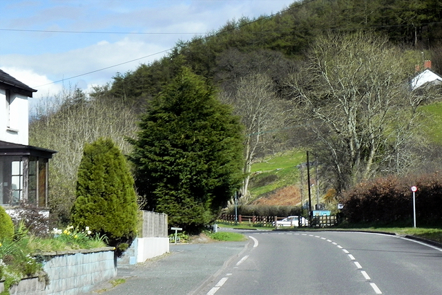
A44 East of Capel Bangor
 Map © Crown Copyright")
TIP: Click the map for more Large scale mapping
- Grid Square
- SN6680, 102 images (more nearby 🔍)
- Photographer
- David Dixon (more nearby)
- Date Taken
- Wednesday, 13 April, 2016 (more nearby)
- Submitted
- Tuesday, 28 June, 2016
- Subject Location
-
OSGB36:
 SN 666 802 [100m precision]
WGS84: 52:24.2381N 3:57.6786W - Camera Location
-
OSGB36: SN 665 802
- View Direction
- EAST (about 90 degrees)