2016
NN6374 : Perth and Kinross : The A9
taken 8 years ago, near to Sow of Atholl, The/Meall an Dobharchain [hill or Mountain], Perth And Kinross, Great Britain
This is 1 of 2 images, with title Perth and Kinross : The A9 in this square
Perth and Kinross : The A9
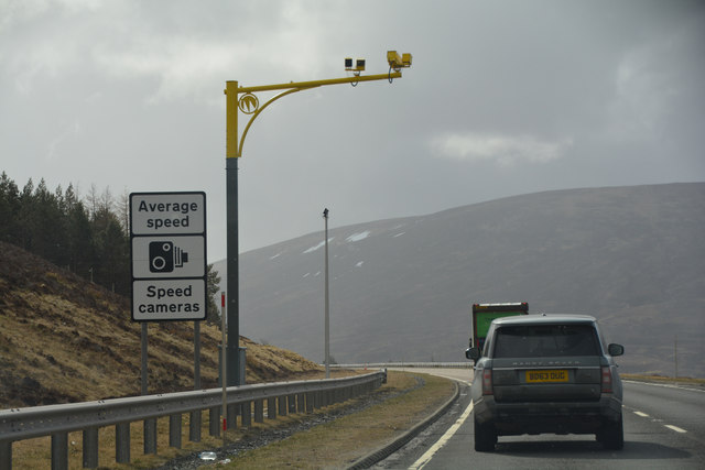
More average speed cameras along the A9 road.
 Map © Crown Copyright")
TIP: Click the map for more Large scale mapping
- Grid Square
- NN6374, 26 images (more nearby 🔍)
- Photographer
- Lewis Clarke (more nearby)
- Date Taken
- Monday, 25 April, 2016 (more nearby)
- Submitted
- Tuesday, 28 June, 2016
- Subject Location
-
OSGB36:
 NN 6378 7427 [10m precision]
WGS84: 56:50.3912N 4:14.0749W - Camera Location
-
OSGB36: NN 63769 74297
- View Direction
- Southeast (about 135 degrees)