2016
TF3944 : Farmland south of Butterwick: aerial 2016
taken 8 years ago, near to Butterwick, Lincolnshire, England
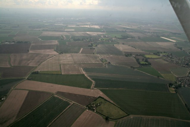
Farmland south of Butterwick: aerial 2016
Freiston and Hobhole Drain ahead.
 Map © Crown Copyright")
TIP: Click the map for more Large scale mapping
- Grid Square
- TF3944, 13 images (more nearby 🔍)
- Photographer
- Chris (more nearby)
- Date Taken
- Saturday, 25 June, 2016 (more nearby)
- Submitted
- Tuesday, 28 June, 2016
- Subject Location
-
OSGB36:
 TF 392 441 [100m precision]
WGS84: 52:58.6023N 0:4.3553E - Camera Location
-
OSGB36: TF 402 442
- View Direction
- WEST (about 270 degrees)