2016
SZ0696 : West Howe: footpath E19 to Zamek Close
taken 8 years ago, near to Kinson, Bournemouth, Christchurch & Poole, England
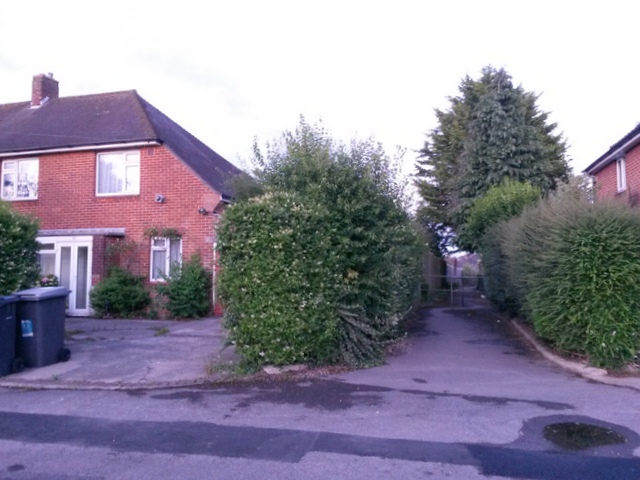
West Howe: footpath E19 to Zamek Close
This public footpath leads to the dead end of Zamek Close.
See SZ0696 : West Howe: footpath E19 arrives on Anstey Road for the view towards us from just along the path, with links to further photos on the route.
See SZ0696 : West Howe: footpath E19 arrives on Anstey Road for the view towards us from just along the path, with links to further photos on the route.
Public rights of way in Bournemouth
A series of pictures documenting the public rights of way in the borough of Bournemouth. The pictures of the rights of way all have links to the next picture on the same route, in each direction.
The rights of way are all documented, in numerical order, in this article:
Link
 Map © Crown Copyright")
TIP: Click the map for more Large scale mapping
- Grid Square
- SZ0696, 159 images (more nearby 🔍)
- Photographer
- Chris Downer (more nearby)
- Date Taken
- Tuesday, 28 June, 2016 (more nearby)
- Submitted
- Wednesday, 29 June, 2016
- Subject Location
-
OSGB36:
 SZ 0604 9614 [10m precision]
WGS84: 50:45.8891N 1:54.9434W - Camera Location
-
OSGB36: SZ 0602 9615
- View Direction
- East-southeast (about 112 degrees)