2016
SO3023 : Y Graig and Hatterrall Hill
taken 8 years ago, near to Cwmyoy, Monmouthshire/Sir Fynwy, Wales
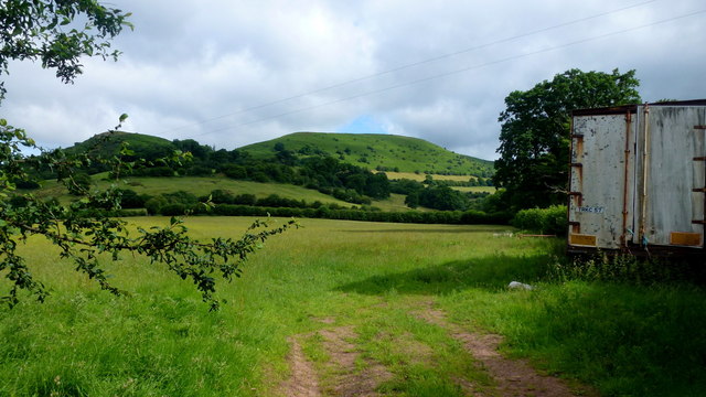
Y Graig and Hatterrall Hill
Viewed from the lane junction in Cwmyoy.
 Map © Crown Copyright")
TIP: Click the map for more Large scale mapping
- Grid Square
- SO3023, 38 images (more nearby 🔍)
- Photographer
- Jonathan Billinger (more nearby)
- Date Taken
- Tuesday, 5 July, 2016 (more nearby)
- Submitted
- Tuesday, 5 July, 2016
- Subject Location
-
OSGB36:
 SO 3051 2315 [10m precision]
WGS84: 51:54.1524N 3:0.6855W - Camera Location
-
OSGB36: SO 3054 2311
- View Direction
- Northwest (about 315 degrees)