2016
ST5863 : A short-cut to Sandy Lane
taken 8 years ago, near to Chew Magna, Bath And North East Somerset, England
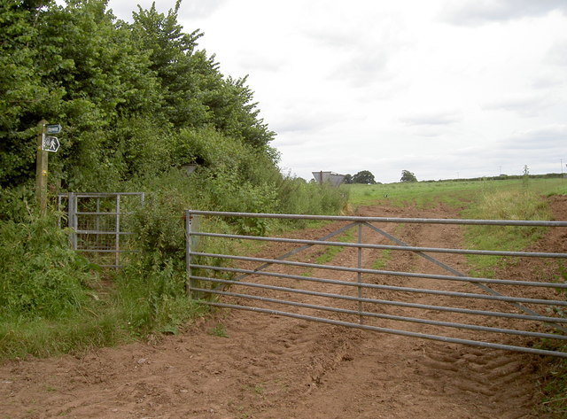
A short-cut to Sandy Lane
A path crosses a field to meet up with the Two Rivers Way, cutting out a little of the latter.
 Map © Crown Copyright")
TIP: Click the map for more Large scale mapping
- Grid Square
- ST5863, 31 images (more nearby 🔍)
- Photographer
- Neil Owen (more nearby)
- Date Taken
- Wednesday, 6 July, 2016 (more nearby)
- Submitted
- Thursday, 7 July, 2016
- Subject Location
-
OSGB36:
 ST 5850 6309 [10m precision]
WGS84: 51:21.9209N 2:35.8494W - Camera Location
-
OSGB36: ST 5849 6309
- View Direction
- East-southeast (about 112 degrees)