SX4461 : Confluence of River Tavy and River Tamar
taken 8 years ago, near to Landulph, Cornwall, England
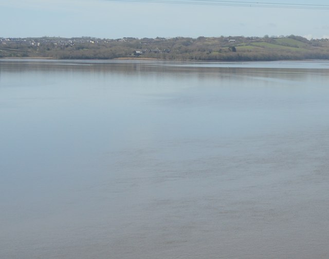
The Tavy is a river that rises on Dartmoor. It has given its name to the town of Tavistock and the villages of Mary Tavy and Peter Tavy. It is a tributary of the River Tamar and has as its own tributaries. It is crossed by the Tamar Valley Line near its mouth.
The Tamar (Cornish: Dowr Tamar) is in south west England, it forms most of the border between Devon and Cornwall.
The Tamar's source is 3 miles from the north Cornish coast, but it flows southward and its course runs across the peninsula to the south coast. The total length of the river is 61 miles. At its mouth, the Tamar flows into the Hamoaze before entering Plymouth Sound. Tributaries of the river include the rivers Inny, Ottery, Kensey and Lynher (or St Germans River) on the Cornish side, and the Deer and Tavy on the Devon side.
 Map © Crown Copyright")
- Grid Square
- SX4461, 43 images (more nearby 🔍)
- Photographer
- N Chadwick (more nearby)
- Date Taken
- Friday, 25 March, 2016 (more nearby)
- Submitted
- Thursday, 7 July, 2016
- Subject Location
-
OSGB36:
 SX 4425 6131 [10m precision]
WGS84: 50:25.8559N 4:11.6579W - Camera Location
-
OSGB36: SX 4496 6159
- View Direction
- West-southwest (about 247 degrees)