2016
TA0932 : NCN66 alongside Sutton Road Hull
taken 8 years ago, near to Bransholme, Kingston Upon Hull, England
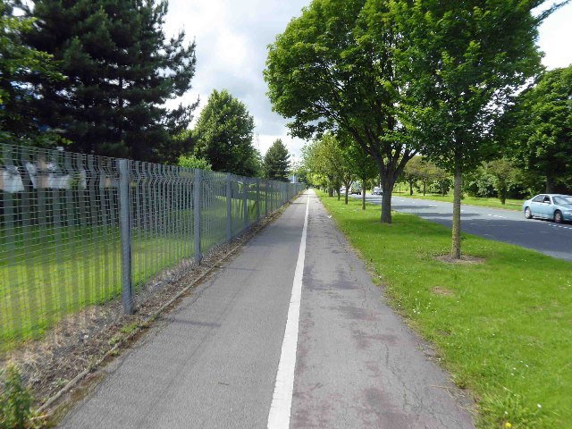
NCN66 alongside Sutton Road Hull
 Map © Crown Copyright")
TIP: Click the map for more Large scale mapping
- Grid Square
- TA0932, 220 images (more nearby 🔍)
- Photographer
- Steve Fareham (more nearby)
- Date Taken
- Tuesday, 5 July, 2016 (more nearby)
- Submitted
- Friday, 8 July, 2016
- Subject Location
-
OSGB36:
 TA 0971 3272 [10m precision]
WGS84: 53:46.7556N 0:20.1935W - Camera Location
-
OSGB36: TA 09787 32699
- View Direction
- West-northwest (about 292 degrees)