2016
SN1952 : View over Cardigan Bay
taken 8 years ago, 3 km from Y Ferwig, Ceredigion/Sir Ceredigion, Wales
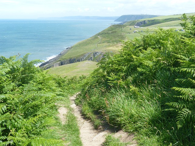
View over Cardigan Bay
As seen from Foel-y-Mwnt (National Trust).
 Map © Crown Copyright")
TIP: Click the map for more Large scale mapping
- Grid Square
- SN1952, 92 images (more nearby 🔍)
- Photographer
- Robin Drayton (more nearby)
- Date Taken
- Saturday, 2 July, 2016 (more nearby)
- Submitted
- Friday, 8 July, 2016
- Subject Location
-
OSGB36:
 SN 1959 5213 [10m precision]
WGS84: 52:8.2758N 4:38.2574W - Camera Location
-
OSGB36: SN 1942 5211
- View Direction
- EAST (about 90 degrees)