2016
SD3209 : The Cheshire Lines Path/Transpennine Trail
taken 8 years ago, 3 km from Great Altcar, Lancashire, England
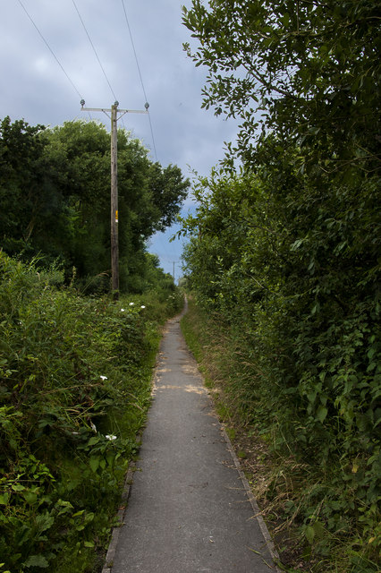
The Cheshire Lines Path/Transpennine Trail
 Map © Crown Copyright")
TIP: Click the map for more Large scale mapping
- Grid Square
- SD3209, 11 images (more nearby 🔍)
- Photographer
- Ian Greig (more nearby)
- Date Taken
- Friday, 8 July, 2016 (more nearby)
- Submitted
- Sunday, 10 July, 2016
- Subject Location
-
OSGB36:
 SD 3235 0919 [10m precision]
WGS84: 53:34.4957N 3:1.3873W - Camera Location
-
OSGB36: SD 32408 09089
- View Direction
- North-northwest (about 337 degrees)