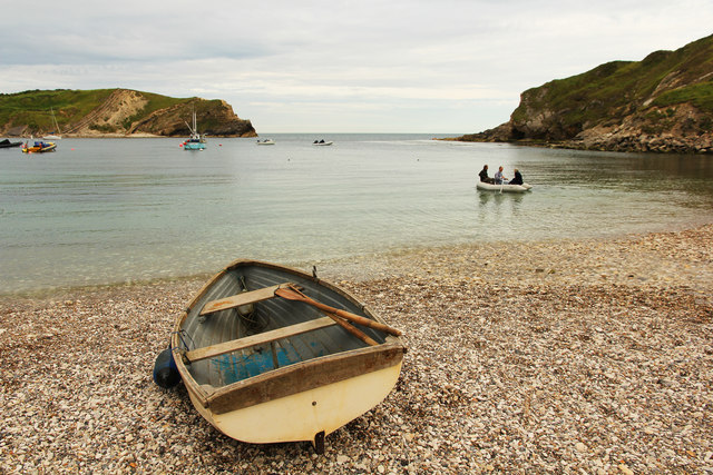
SY8279 : Lulworth Cove
taken 8 years ago, near to West Lulworth, Dorset, England
The cove has formed due to bands of rock of alternating resistance running parallel to the shore (a concordant coastline). A narrow band of Portland limestone rocks forms the shoreline. Behind this is a narrow band of slightly less resistant Purbeck limestone. Behind this are 300-350 metres of much less resistant clays and greensands (Wealden clays, Gault and Upper Greensand).
Forming the back of the cove is a band of chalk, which is considerably more resistant than the clays and sands, but less resistant than the limestones. The entrance to the cove is a narrow gap in the limestone bands. This was formed by a combination wave action , glacial melt waters and the processes of weathering. The wide part of the cove is where the weak clays and greensands have been eroded. The back of the cove is the chalk, which the sea has been unable to erode as fast as it does not dissolve in the sea acids.
The unique shape of the cove is a result of wave diffraction. The narrow entrance to the cove ensures that as waves enter they bend into an arced shape.
West Lulworth is a small village near Lulworth Cove. It has a church, pub, school, general store and several hotels.
 Map © Crown Copyright")
- Grid Square
- SY8279, 425 images (more nearby 🔍)
- Photographer
- Richard Croft (more nearby)
- Date Taken
- Thursday, 7 July, 2016 (more nearby)
- Submitted
- Monday, 11 July, 2016
- Subject Location
-
OSGB36:
 SY 8244 7989 [10m precision]
WGS84: 50:37.1070N 2:14.9745W - Camera Location
-
OSGB36: SY 8242 7991
- View Direction
- Southeast (about 135 degrees)