2016
TL3955 : Wheat field
taken 8 years ago, near to Comberton, Cambridgeshire, England
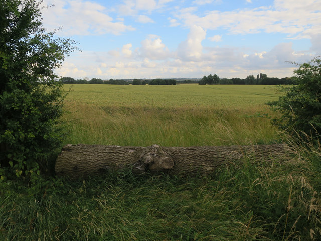
Wheat field
 Map © Crown Copyright")
TIP: Click the map for more Large scale mapping
- Grid Square
- TL3955, 10 images (more nearby 🔍)
- Photographer
- Hugh Venables (more nearby)
- Date Taken
- Monday, 11 July, 2016 (more nearby)
- Submitted
- Monday, 11 July, 2016
- Subject Location
-
OSGB36:
 TL 3902 5514 [10m precision]
WGS84: 52:10.6204N 0:1.9017E - Camera Location
-
OSGB36: TL 3902 5521
- View Direction
- SOUTH (about 180 degrees)