2016
NY8805 : Culverted stream under road to Tan Hill in West Stones Dale
taken 8 years ago, 3 km from Ravenseat, North Yorkshire, England
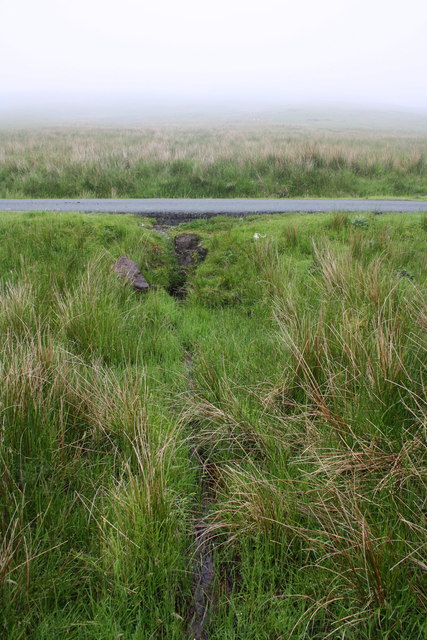
Culverted stream under road to Tan Hill in West Stones Dale
 Map © Crown Copyright")
TIP: Click the map for more Large scale mapping
- Grid Square
- NY8805, 18 images (more nearby 🔍)
- Photographer
- Roger Templeman (more nearby)
- Date Taken
- Monday, 13 June, 2016 (more nearby)
- Submitted
- Friday, 15 July, 2016
- Subject Location
-
OSGB36:
 NY 8866 0524 [10m precision]
WGS84: 54:26.5463N 2:10.5817W - Camera Location
-
OSGB36: NY 8865 0524
- View Direction
- EAST (about 90 degrees)