2016
SU7238 : The A31 south of Alton
taken 8 years ago, near to Chawton, Hampshire, England
This is 1 of 3 images, with title The A31 south of Alton in this square
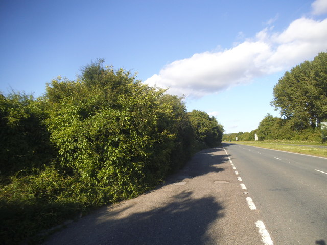
The A31 south of Alton
 Map © Crown Copyright")
TIP: Click the map for more Large scale mapping
- Grid Square
- SU7238, 43 images (more nearby 🔍)
- Photographer
- David Howard (more nearby)
- Date Taken
- Sunday, 3 July, 2016 (more nearby)
- Submitted
- Thursday, 21 July, 2016
- Subject Location
-
OSGB36:
 SU 7203 3807 [10m precision]
WGS84: 51:8.2428N 0:58.3105W - Camera Location
-
OSGB36: SU 7201 3807
- View Direction
- EAST (about 90 degrees)