2016
SU7339 : The A31 by Neatham Down
taken 8 years ago, near to Holybourne, Hampshire, England
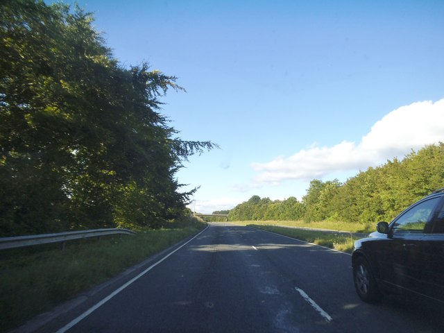
The A31 by Neatham Down
 Map © Crown Copyright")
TIP: Click the map for more Large scale mapping
- Grid Square
- SU7339, 12 images (more nearby 🔍)
- Photographer
- David Howard (more nearby)
- Date Taken
- Sunday, 3 July, 2016 (more nearby)
- Submitted
- Thursday, 21 July, 2016
- Subject Location
-
OSGB36:
 SU 7326 3971 [10m precision]
WGS84: 51:9.1181N 0:57.2358W - Camera Location
-
OSGB36: SU 7324 3969
- View Direction
- Northeast (about 45 degrees)