2016
NC7255 : The track south from Skelpick
taken 8 years ago, near to Skelpick, Highland, Scotland
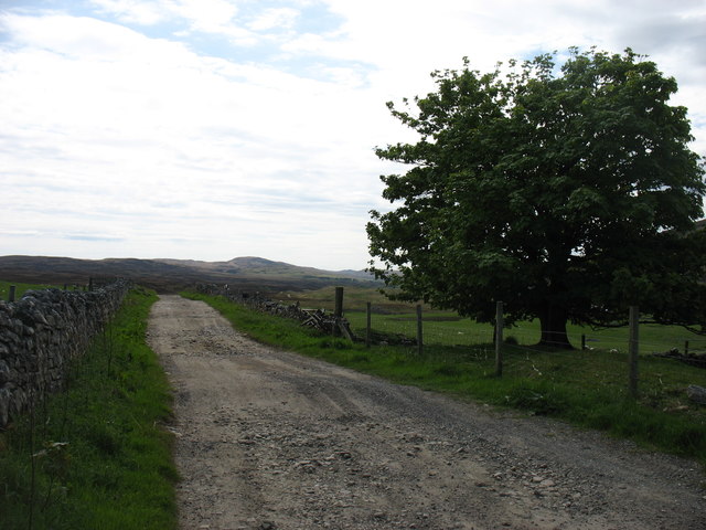
The track south from Skelpick
The public road ended a short distance behind the camera. But walkers can follow this track due south on the east side of the River Naver for 6km to Rhifail NC7249. After that, it seems that it is necessary to cross to the west bank and follow the B871. (There is a path shown for a little further, but no river crossing until NC6943.)
 Map © Crown Copyright")
TIP: Click the map for more Large scale mapping
- Grid Square
- NC7255, 4 images (more nearby 🔍)
- Photographer
- David Purchase (more nearby)
- Date Taken
- Saturday, 28 May, 2016 (more nearby)
- Submitted
- Saturday, 23 July, 2016
- Subject Location
-
OSGB36:
 NC 7237 5543 [10m precision]
WGS84: 58:28.1032N 4:11.3849W - Camera Location
-
OSGB36: NC 7233 5555
- View Direction
- South-southeast (about 157 degrees)