2007
TF9421 : Field boundary at Brisley
taken 17 years ago, near to Brisley, Norfolk, England
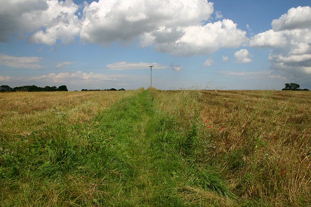
Field boundary at Brisley
Although not a public footpath, there appears to be a well-used track between these two fields, obviously used by local people to link up with other footpaths in the area.
 Map © Crown Copyright")
TIP: Click the map for more Large scale mapping
- Grid Square
- TF9421, 10 images (more nearby 🔍)
- Photographer
- Bob Jones (more nearby)
- Date Taken
- Tuesday, 24 July, 2007 (more nearby)
- Submitted
- Wednesday, 25 July, 2007
- Subject Location
-
OSGB36:
 TF 948 217 [100m precision]
WGS84: 52:45.4823N 0:53.1400E - Camera Location
-
OSGB36: TF 947 217
- View Direction
- East-northeast (about 67 degrees)