2016
SD6516 : Tumbledown wall at Higher Anshaw
taken 8 years ago, near to Belmont, Blackburn With Darwen, England
This is 1 of 3 images, with title starting with Tumbledown in this square
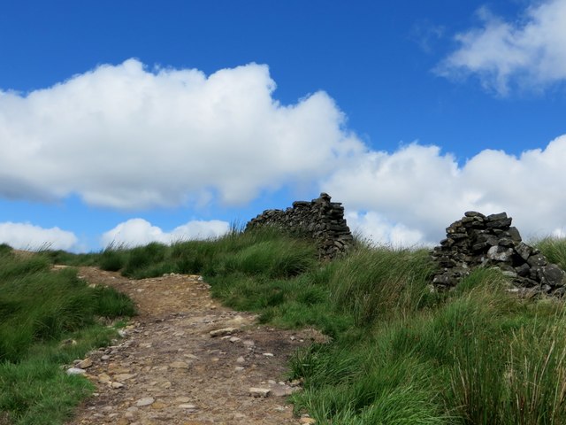
Tumbledown wall at Higher Anshaw
On a moorland path above Belmont.
 Map © Crown Copyright")
TIP: Click the map for more Large scale mapping
- Grid Square
- SD6516, 56 images (more nearby 🔍)
- Photographer
- philandju (more nearby)
- Date Taken
- Wednesday, 27 July, 2016 (more nearby)
- Submitted
- Wednesday, 27 July, 2016
- Subject Location
-
OSGB36:
 SD 6559 1688 [10m precision]
WGS84: 53:38.8371N 2:31.3211W - Camera Location
-
OSGB36: SD 65623 16666
- View Direction
- NORTH (about 0 degrees)