2016
TQ9216 : Cycle Network 2 and Coastal Path
taken 8 years ago, near to Winchelsea Beach, East Sussex, England
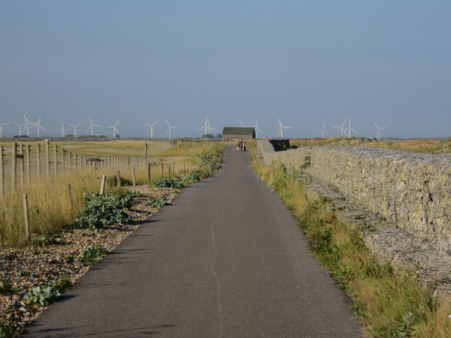
Cycle Network 2 and Coastal Path
National Cycle Network Route 2
National Route 2 will link Dover with St. Austell when complete via the south coast of England and is sometimes referred to as the South Coast Cycle Route.
The route is only fully open, at present, and signed between Dover and Brighton, but is still under development between Brighton and St. Austell.
The National Cycle Network
The National Cycle Network is a network of cycle routes. It was created by the charity Sustrans Link
(Sustainable Transport), aided by a National Lottery grant.
Many routes aim to minimise contact with motor traffic, though 70% of them are on roads. In some cases the NCN uses pedestrian routes, disused railways, minor roads, canal towpaths, or traffic-calmed routes in towns and cities.
 Map © Crown Copyright")
TIP: Click the map for more Large scale mapping
- Grid Square
- TQ9216, 64 images (more nearby 🔍)
- Photographer
- Oast House Archive (more nearby)
- Date Taken
- Saturday, 23 July, 2016 (more nearby)
- Submitted
- Wednesday, 27 July, 2016
- Subject Location
-
OSGB36:
 TQ 925 166 [100m precision]
WGS84: 50:55.0258N 0:44.2684E - Camera Location
-
OSGB36: TQ 924 166
- View Direction
- East-northeast (about 67 degrees)