2016
TQ2314 : Enclosed Bridleway
taken 8 years ago, near to Woodmancote, West Sussex, England
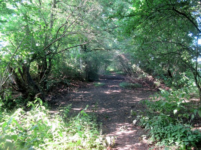
Enclosed Bridleway
Public bridleway 2736 to Horn Lane.
 Map © Crown Copyright")
TIP: Click the map for more Large scale mapping
- Grid Square
- TQ2314, 33 images (more nearby 🔍)
- Photographer
- Peter Holmes (more nearby)
- Date Taken
- Saturday, 23 July, 2016 (more nearby)
- Submitted
- Thursday, 28 July, 2016
- Subject Location
-
OSGB36:
 TQ 2305 1459 [10m precision]
WGS84: 50:55.0597N 0:15.0513W - Camera Location
-
OSGB36: TQ 2306 1461
- View Direction
- South-southwest (about 202 degrees)