2016
SD7459 : Halsteads Farm
taken 8 years ago, 4 km NW of Tosside, North Yorkshire, England
This is 1 of 2 images, with title starting with Halsteads in this square
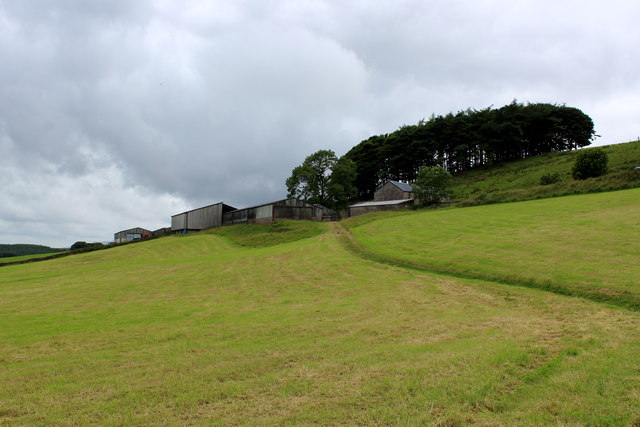
Halsteads Farm
Public footpath follows the well defined track across the field towards the farm buildings.
 Map © Crown Copyright")
TIP: Click the map for more Large scale mapping
- Grid Square
- SD7459, 11 images (more nearby 🔍)
- Photographer
- Chris Heaton (more nearby)
- Date Taken
- Monday, 25 July, 2016 (more nearby)
- Submitted
- Thursday, 28 July, 2016
- Subject Location
-
OSGB36:
 SD 7432 5925 [10m precision]
WGS84: 54:1.7158N 2:23.6108W - Camera Location
-
OSGB36: SD 7443 5930
- View Direction
- West-southwest (about 247 degrees)