2005
TA0239 : Beverley Pasture
taken 19 years ago, near to Beverley, East Riding of Yorkshire, England
This is 1 of 16 images, with title starting with Beverley in this square
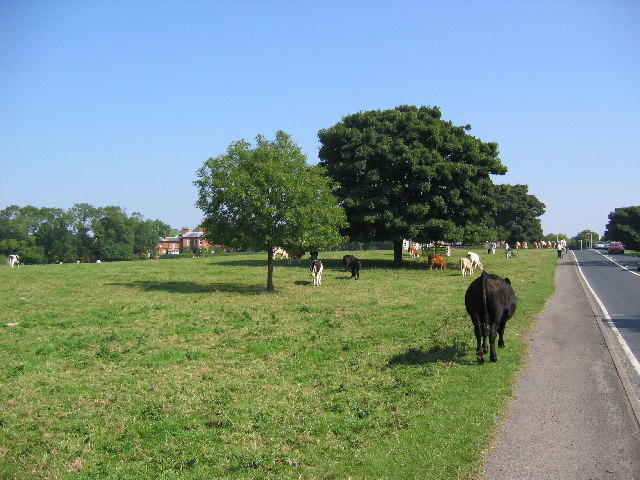
Beverley Pasture
Looking east along the A1035 which runs past the racecourse to Beverley.
The road was renumbered A1174 in 2007.
The road was renumbered A1174 in 2007.
 Map © Crown Copyright")
TIP: Click the map for more Large scale mapping
- Grid Square
- TA0239, 400 images (more nearby 🔍)
- Photographer
- Stephen Horncastle (more nearby)
- Date Taken
- Sunday, 4 September, 2005 (more nearby)
- Submitted
- Thursday, 8 September, 2005
- Subject Location
-
OSGB36:
 TA 02461 39737 [1m precision]
WGS84: 53:50.6268N 0:26.6513W - Camera Location
-
OSGB36: TA 0244 3973
- View Direction
- EAST (about 90 degrees)