2016
NT3235 : Riverside path to the Toll House
taken 8 years ago, near to Innerleithen, Scottish Borders, Scotland
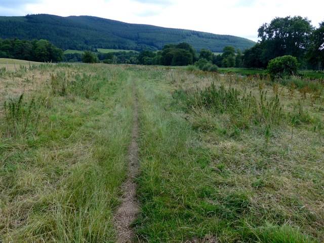
Riverside path to the Toll House
A pleasant path, this is not marked on the OS mappings. The River Tweed is just visible off to the right.
 Map © Crown Copyright")
TIP: Click the map for more Large scale mapping
- Grid Square
- NT3235, 92 images (more nearby 🔍)
- Photographer
- Gordon Brown (more nearby)
- Date Taken
- Monday, 1 August, 2016 (more nearby)
- Submitted
- Monday, 1 August, 2016
- Subject Location
-
OSGB36:
 NT 3270 3591 [10m precision]
WGS84: 55:36.7268N 3:4.1975W - Camera Location
-
OSGB36: NT 3264 3594
- View Direction
- East-southeast (about 112 degrees)