2016
TQ3892 : Path Through Larks Wood
taken 8 years ago, near to Woodford, Redbridge, England
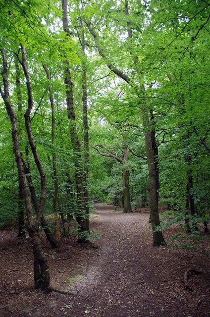
Path Through Larks Wood
Larks Wood is managed by Waltham Forest Council; see Link for more information.
 Map © Crown Copyright")
TIP: Click the map for more Large scale mapping
- Grid Square
- TQ3892, 56 images (more nearby 🔍)
- Photographer
- Glyn Baker (more nearby)
- Date Taken
- Thursday, 4 August, 2016 (more nearby)
- Submitted
- Thursday, 4 August, 2016
- Subject Location
-
OSGB36:
 TQ 3830 9246 [10m precision]
WGS84: 51:36.8392N 0:0.2368W - Camera Location
-
OSGB36: TQ 3830 9249
- View Direction
- SOUTH (about 180 degrees)