2016
SJ9767 : A54 downhill below Heild Rocks
taken 8 years ago, near to Allgreave, Cheshire East, England
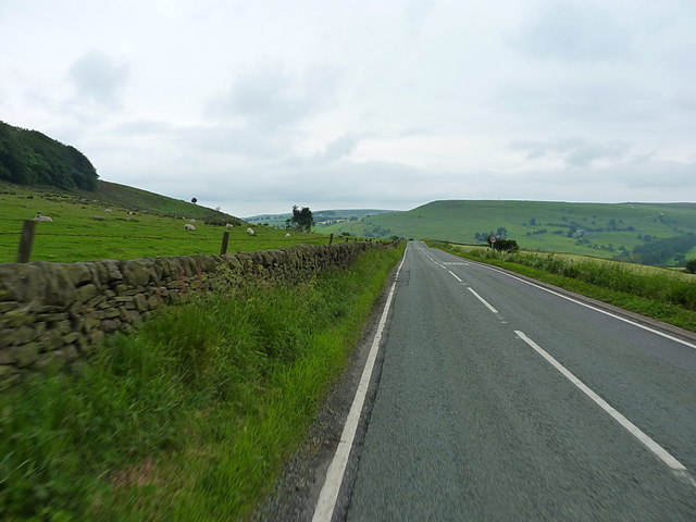
A54 downhill below Heild Rocks
Looking westwards along the A54 between Heild Rocks on the hillside to the left, and Blaze Farm in the valley off to the right. The prominent steep slope in the distance is the southern flank of Hammerton Knowl in SJ9667
 Map © Crown Copyright")
TIP: Click the map for more Large scale mapping
- Grid Square
- SJ9767, 32 images (more nearby 🔍)
- Photographer
- Richard Law (more nearby)
- Date Taken
- Sunday, 26 June, 2016 (more nearby)
- Submitted
- Friday, 5 August, 2016
- Subject Location
-
OSGB36:
 SJ 9783 6752 [10m precision]
WGS84: 53:12.2848N 2:2.0367W - Camera Location
-
OSGB36: SJ 97952 67548
- View Direction
- WEST (about 270 degrees)