2016
NT8527 : St Cuthbert's Way leading to the Border Ridge and the Pennine Way
taken 8 years ago, 3 km from Kirk Yetholm, Scottish Borders, Scotland
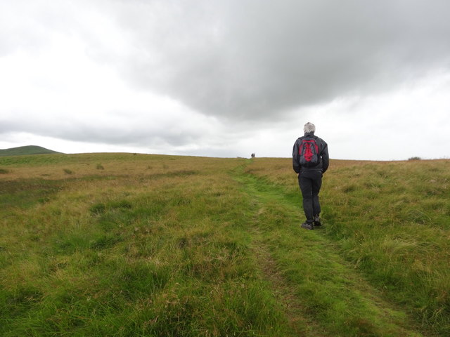
St Cuthbert's Way leading to the Border Ridge and the Pennine Way
 Map © Crown Copyright")
TIP: Click the map for more Large scale mapping
- Grid Square
- NT8527, 50 images (more nearby 🔍)
- Photographer
- Les Hull (more nearby)
- Date Taken
- Wednesday, 3 August, 2016 (more nearby)
- Submitted
- Wednesday, 10 August, 2016
- Subject Location
-
OSGB36:
 NT 8522 2725 [10m precision]
WGS84: 55:32.3245N 2:14.1450W - Camera Location
-
OSGB36: NT 8534 2728
- View Direction
- West-southwest (about 247 degrees)