2016
TR1659 : Broad Oak Road
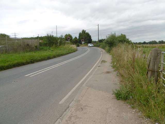
taken 8 years ago, near to Broad Oak, Kent, England
This is 1 of 2 images, with title Broad Oak Road in this square
Broad Oak Road
Broad Oak Road leads out of Canterbury to Broad Oak. Just ahead is Broadoak Level Crossing.
On 6th February 1846, the South Eastern Railway began services from Ashford to Canterbury West and two months later in April 1846 services were extended though here to Ramsgate. Electric services started on 9th October 1961 and in December 2009, the line became part of the Southeastern High Speed service to London St Pancras.
The next station to the left here is Canterbury West and to the right is Sturry, although the High Speed trains do not stop at the latter.
 Map © Crown Copyright")
TIP: Click the map for more Large scale mapping
- Grid Square
- TR1659, 72 images (more nearby 🔍)
- Photographer
- Marathon (more nearby)
- Date Taken
- Saturday, 13 August, 2016 (more nearby)
- Submitted
- Saturday, 13 August, 2016
- Subject Location
-
OSGB36:
 TR 1653 5997 [10m precision]
WGS84: 51:17.8597N 1:6.2747E - Camera Location
-
OSGB36: TR 1649 5994
- View Direction
- Northeast (about 45 degrees)