1977
NN2874 : Top of Sgùrr Innse
taken 46 years ago, near to Sgùrr Innse [hill or Mountain], Highland, Great Britain
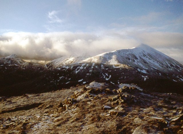
Top of Sgùrr Innse
 Map © Crown Copyright")
TIP: Click the map for more Large scale mapping
- Grid Square
- NN2874, 11 images (more nearby 🔍)
- Photographer
- Alan Reid (more nearby)
- Date Taken
- Monday, 26 December, 1977 (more nearby)
- Submitted
- Sunday, 14 August, 2016
- Subject Location
-
OSGB36:
 NN 2894 7471 [10m precision]
WGS84: 56:49.9369N 4:48.3173W - Camera Location
-
OSGB36: NN 2897 7470
- View Direction
- West-northwest (about 292 degrees)