2016
NZ3841 : Haswell to Hart Countryside Walkway
taken 8 years ago, near to Shotton Colliery, County Durham, England
This is 1 of 2 images, with title Haswell to Hart Countryside Walkway in this square
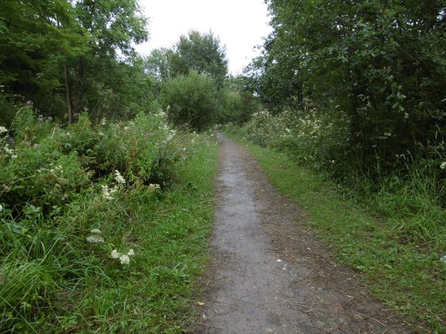
Haswell to Hart Countryside Walkway
Inside the long cutting by Shotton Colliery.
Hartlepool Railway and Dock Company Railway :: NZ3842
Hartlepool Dock and Railway Company built a railway to Haswell in the 1830s to bring coal down to Hartlepool from inland collieries. The line "met" the Durham and Sunderland Railway at Haswell, but at rightangles and there were two stations. The lines were joined with a curve by the North Eastern Railway in the 1870s.
The railway closed in 1968 and is now the Castle Eden Walkway / National Cycle Network Route 14.
 Map © Crown Copyright")
TIP: Click the map for more Large scale mapping
- Grid Square
- NZ3841, 16 images (more nearby 🔍)
- Photographer
- Richard Webb (more nearby)
- Date Taken
- Tuesday, 9 August, 2016 (more nearby)
- Submitted
- Monday, 15 August, 2016
- Subject Location
-
OSGB36:
 NZ 3875 4183 [10m precision]
WGS84: 54:46.1943N 1:23.9527W - Camera Location
-
OSGB36: NZ 3873 4187
- View Direction
- South-southeast (about 157 degrees)