2016
SZ0384 : Studland, path
taken 8 years ago, near to Sandbanks, Bournemouth, Christchurch & Poole, England
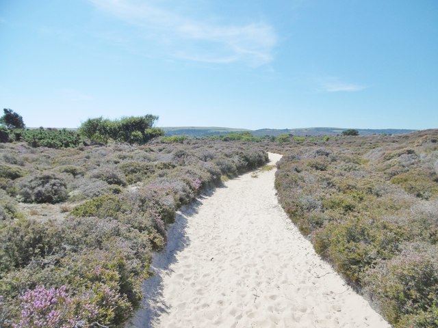
Studland, path
Running roughly parallel to the South West Coast Path and Studland Beach; through heathland to Knoll Beach.
 Map © Crown Copyright")
TIP: Click the map for more Large scale mapping
- Grid Square
- SZ0384, 77 images (more nearby 🔍)
- Photographer
- Mike Faherty (more nearby)
- Date Taken
- Monday, 15 August, 2016 (more nearby)
- Submitted
- Monday, 15 August, 2016
- Subject Location
-
OSGB36:
 SZ 0361 8481 [10m precision]
WGS84: 50:39.7771N 1:57.0172W - Camera Location
-
OSGB36: SZ 0361 8481
- View Direction
- South-southwest (about 202 degrees)