2016
TQ7132 : Derelict barn, Bedgebury Forest
taken 8 years ago, near to Flimwell, East Sussex, England
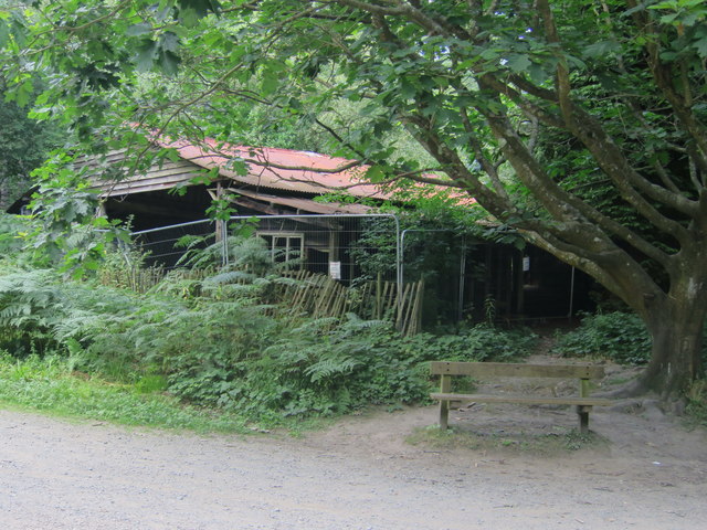
Derelict barn, Bedgebury Forest
Bedgebury Forest is a large expanse of managed woodland created during the 1930's to help counteract the smog of London.
Sitting between Flimwell, Goudhurst, Cranbrook, and Hawkhurst in Kent, the 2600 acres contains both deciduous and coniferous tree species.
The forest has many footpaths and tracks which are open to the public for recreation, including different mountain bikes trails for families or the Red Route for more experienced riders.
A visitor centre and café is situated at TQ716332 and large car park adjacent.
See other images of Bedgebury Forest
 Map © Crown Copyright")
TIP: Click the map for more Large scale mapping
- Grid Square
- TQ7132, 71 images (more nearby 🔍)
- Photographer
- Oast House Archive (more nearby)
- Date Taken
- Sunday, 14 August, 2016 (more nearby)
- Submitted
- Tuesday, 16 August, 2016
- Subject Location
-
OSGB36:
 TQ 719 321 [100m precision]
WGS84: 51:3.7809N 0:27.1858E - Camera Location
-
OSGB36: TQ 719 321
- View Direction
- North-northeast (about 22 degrees)