2016
SX0762 : Closed lane near Tredinnick
taken 8 years ago, near to Trebyan, Cornwall, England
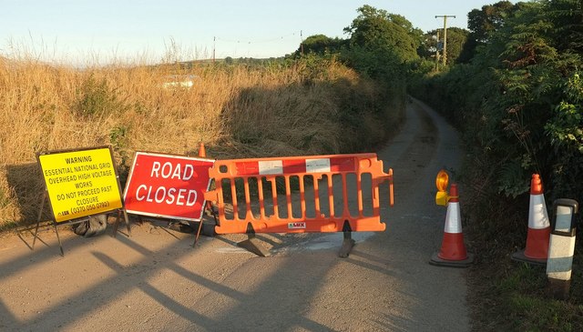
Closed lane near Tredinnick
Major works around here on electricity transmission.
 Map © Crown Copyright")
TIP: Click the map for more Large scale mapping
- Grid Square
- SX0762, 10 images (more nearby 🔍)
- Photographer
- Derek Harper (more nearby)
- Date Taken
- Tuesday, 16 August, 2016 (more nearby)
- Submitted
- Wednesday, 17 August, 2016
- Subject Location
-
OSGB36:
 SX 077 627 [100m precision]
WGS84: 50:25.9548N 4:42.5447W - Camera Location
-
OSGB36: SX 0774 6276
- View Direction
- South-southeast (about 157 degrees)