2016
SS7421 : Pasture near Westacott Farm
taken 8 years ago, near to Mariansleigh, Devon, England
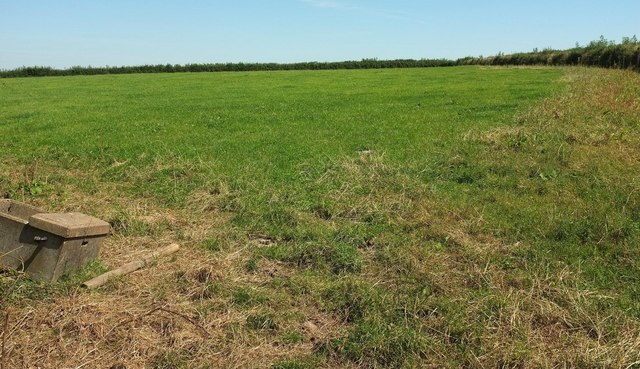
Pasture near Westacott Farm
A field to the right (east) of those shown in SS7421 : Cattle pasture near Westacott Farm and SS7421 : Farmland near Mariansleigh, with the curving hedge on the right adjoining the lane to Uppacott Cross.
 Map © Crown Copyright")
TIP: Click the map for more Large scale mapping
- Grid Square
- SS7421, 18 images (more nearby 🔍)
- Photographer
- Derek Harper (more nearby)
- Date Taken
- Monday, 15 August, 2016 (more nearby)
- Submitted
- Sunday, 21 August, 2016
- Subject Location
-
OSGB36:
 SS 748 212 [100m precision]
WGS84: 50:58.5936N 3:47.0838W - Camera Location
-
OSGB36: SS 7474 2120
- View Direction
- East-northeast (about 67 degrees)