2016
SD7797 : Ais Gill
taken 8 years ago, 4 km SSW of Outhgill, Cumbria, England
This is 1 of 2 images, with title Ais Gill in this square
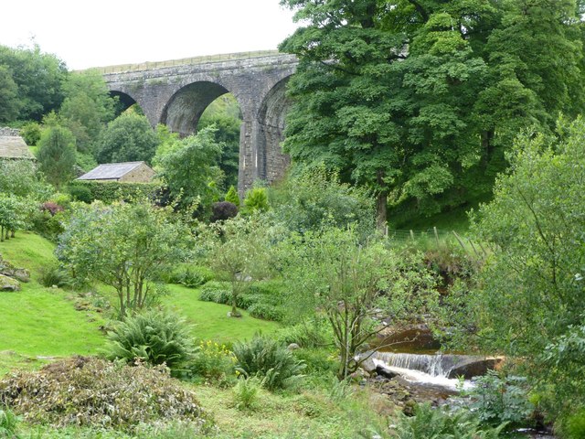
Ais Gill
Flowing under the Settle - Carlisle railway at Aisgill Farm.
The gill gives its name to the railway summit nearby.
The gill gives its name to the railway summit nearby.
 Map © Crown Copyright")
TIP: Click the map for more Large scale mapping
- Grid Square
- SD7797, 81 images (more nearby 🔍)
- Photographer
- Russel Wills (more nearby)
- Date Taken
- Friday, 12 August, 2016 (more nearby)
- Submitted
- Sunday, 21 August, 2016
- Subject Location
-
OSGB36:
 SD 7735 9759 [10m precision]
WGS84: 54:22.3985N 2:21.0098W - Camera Location
-
OSGB36: SD 77381 97607
- View Direction
- West-southwest (about 247 degrees)