2016
NT0281 : John Muir Way at Carriden
taken 8 years ago, near to Carriden, Falkirk, Scotland
This is 1 of 5 images, with title John Muir Way at Carriden in this square
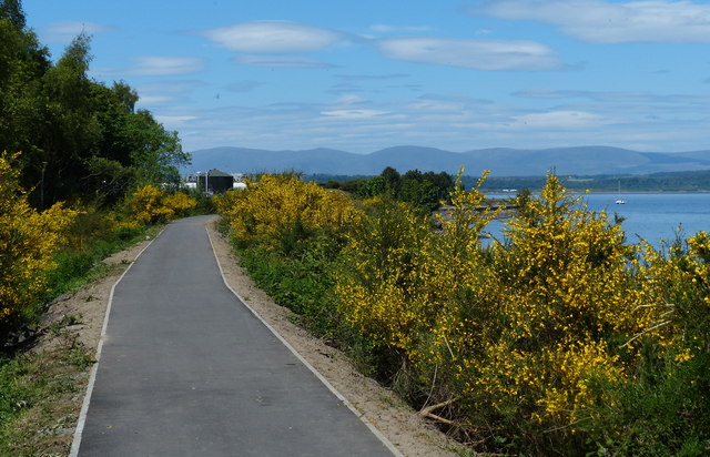
John Muir Way at Carriden
The John Muir Way stretches 134 miles (215 km) across Scotland's heartland, running between Helensburgh in the west to Dunbar on the east coast.
 Map © Crown Copyright")
TIP: Click the map for more Large scale mapping
- Grid Square
- NT0281, 42 images (more nearby 🔍)
- Photographer
- Mat Fascione (more nearby)
- Date Taken
- Thursday, 2 June, 2016 (more nearby)
- Submitted
- Sunday, 21 August, 2016
- Subject Location
-
OSGB36:
 NT 023 811 [100m precision]
WGS84: 56:0.7926N 3:34.0422W - Camera Location
-
OSGB36: NT 023 811
- View Direction
- North-northwest (about 337 degrees)