2016
ST9248 : Derelict tank, Imber ranges
taken 8 years ago, 4 km SSE of Bratton, Wiltshire, England
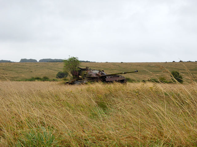
Derelict tank, Imber ranges
Not far from the occasionally open to the public route across tank ranges to the ghost village of Imber
 Map © Crown Copyright")
TIP: Click the map for more Large scale mapping
- Grid Square
- ST9248, 30 images (more nearby 🔍)
- Photographer
- Robin Webster (more nearby)
- Date Taken
- Sunday, 21 August, 2016 (more nearby)
- Submitted
- Monday, 22 August, 2016
- Subject Location
-
OSGB36:
 ST 9217 4815 [10m precision]
WGS84: 51:13.9488N 2:6.8116W - Camera Location
-
OSGB36: ST 92126 48194
- View Direction
- Southeast (about 135 degrees)